
Metropole de lyon
GIS application maintenance renewed until 2029 to manage 50 business applications
Since 2005, Coexya has provided third-party application maintenance (TMA) for the Métropole de Lyon’s geographic information system (GIS). The contract has been renewed several times and now covers a new four-year cycle. It remains fully active. Two modernisation projects, PVO CS and CIGNE, run in parallel for the Roads and Water Cycle directorates and show how the partnership continues.
Application maintenance for the Métropole’s GIS estate: 50 applications under continuous monitoring
The Métropole de Lyon’s IT department (DINSI) acts as both project owner support and project manager for the information system. To maintain its estate of 50 GIS applications, it awarded Coexya a third-party application maintenance (TMA) contract in 2005. The contract was renewed in 2009, 2013, 2017, 2021 and again in 2025 for a further four years, so it now runs until 2029.
The assignment addresses three challenges:
- Strategic: the GIS platform is central to every area of responsibility the Métropole manages.
- Organisational: project governance has to fit within the organisations, procedures and tools already in place.
- Technical: the work requires multi-vendor expertise (Esri, StarAPIC, FME…) and a transition to open source.
Coexya monitors application availability, diagnoses and fixes malfunctions, and provides user support. It also carries out preventive and evolutive maintenance, trains users when releases go live, integrates new software versions and prepares deployments with the Métropole’s relevant unit.
Two modernisation projects managed for the business directorates
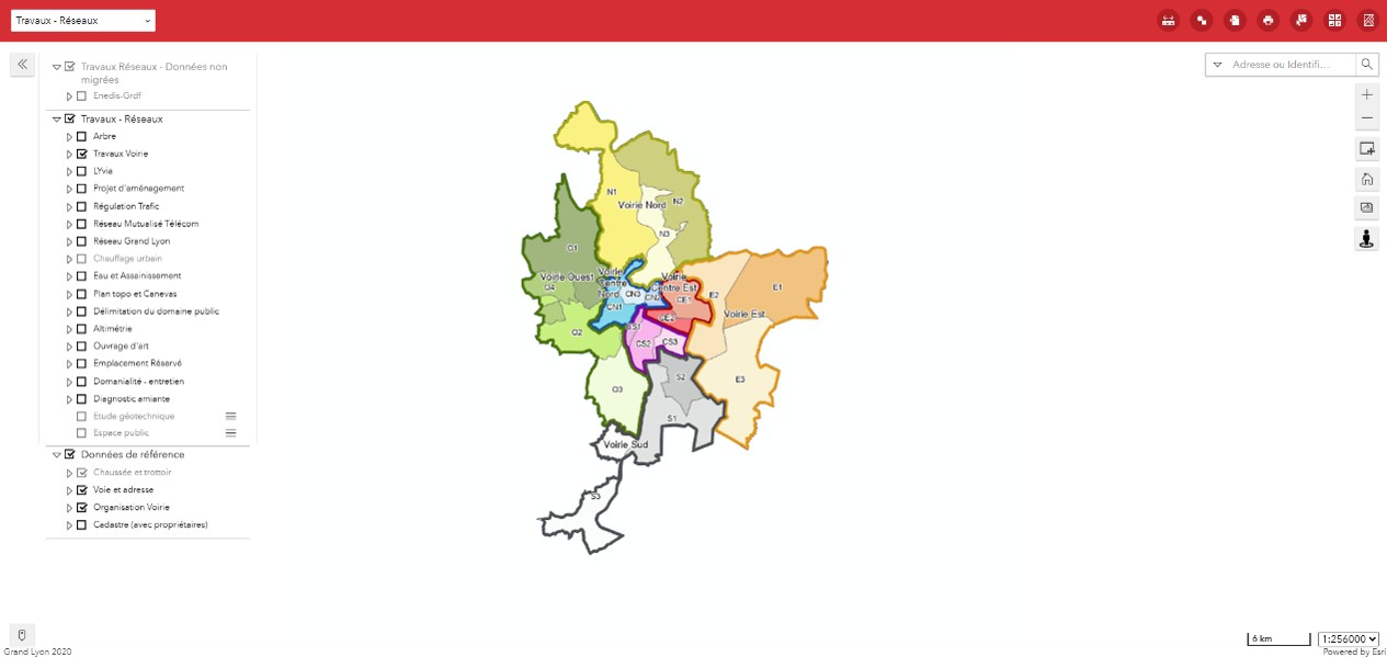
PVO CS: an open-source rebuild of the roads data update tool
The GIS and Networks unit (SIGR) has around ten staff who govern and develop the GIS tools and databases for roads. Its PVO CS application is used for the annual update of more than 60,000 geographic data items, and its technology had become obsolete. Coexya is rewriting it on a modern, open-source technical foundation. The project covers:
- linking business data to the ARIANE reference system
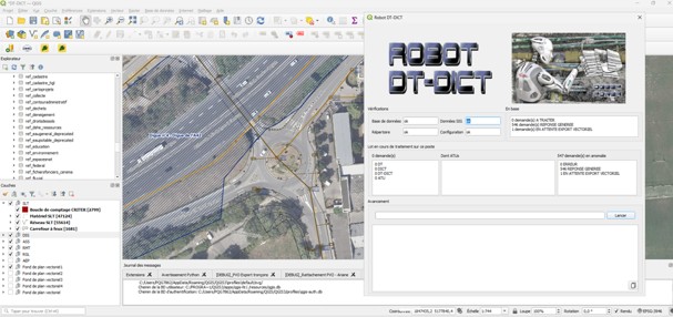
- managing DICTs (pre-works declarations for underground networks)
- feeding the PostgreSQL GIS platform
- upgrading the SIW platform and creating SIW maps
- supporting the teams as they adopt QGIS
CIGNE: migration to QGIS and PostGIS for the Water Cycle Directorate
CIGNE is the set of geographic tools used by around 100 people in the Water Cycle Directorate. They work in wastewater, drinking water and GEMAPI (aquatic environment management and flood prevention). Coexya developed the application, which until now ran as a VBA layer on top of ArcMap, software that has become obsolete.
The rebuild follows the Métropole’s strategy of moving from the proprietary Oracle Spatial database to an open-source PostgreSQL/PostGIS solution, with QGIS-based workstations. The project includes:
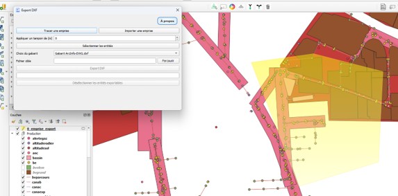
- dedicated QGIS plugins for DXF export, for handling as-built surveys supplied by surveyors and for network management
- support for users as they adopt the tool
