Geomod by Coexya, a leader in geomatics and modelling
With 25 years of expertise, Geomod by Coexya offers bespoke modelling tools and cartographic solutions.
Geomod by Coexya, a leader in geomatics and modelling
For over 25 years, Geomod has been publishing, distributing, and integrating high-value-added cartographic and scientific software, whether in the maritime domain with the production and use of standardised hydrographic and oceanographic products, or in the field of terrestrial geomatics with applications dedicated to the management of water, noise, and electromagnetic radiation.
At the beginning of 2022, Geomod joined the Coexya group, an independent leader in IT/Digital and Software. This merger allows both entities to continue their development in the field of geomatics.
Three main professions
-
01
Marine Geomatics
Production of standardised marine charts (S57) and exploitation of navigation data.
-
02
Wave Propagation
Modelling of acoustic and electromagnetic waves.
-
03
Water Management
Distribution and integration of cartographic solutions for water management.
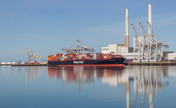
Our marine geomatics tools: cartographic software and standardised hydrographic products
The Brest-based team at Geomod applies its expertise in marine geomatics by offering software solutions that allow the exploitation or production of standardised hydrographic and oceanographic products such as Electronic Navigation Charts (ENC) or military layers (AML).


Acoustic and electromagnetic wave propagation, our modelling and simulation tools
Mithra is a range of software developed in partnership with CSTB. These programs combine CSTB’s research power with Geomod’s responsiveness in development and support:
- CSTB brings its expertise in the field of wave propagation
- GEOMOD brings its expertise in geomatics and 3D modelling
Urban development and prevention, our software solutions in the field of water management
River and urban developments under GEMAPI, management of water stress for water supply, Sustainable Management of Rainwater and flood prevention, population alerts, maintenance of networks…, hydraulic modelling is today an essential tool for local authorities, consultancy firms, and more broadly, managers of the small and large water cycle.
To progress together in the face of these new challenges, Geomod distributes high-performance software solutions for water management and has launched “GeoCommunity”, a collaborative platform for modellers.


Spatial Modelling Expertise: Why choose Coexya?
- Geostatistical & Predictive Analysis: We use advanced algorithms to cross-reference your business data with geographical variables, enabling us to anticipate trends (risks, flows, site locations) and inform your strategic decisions.
- Big Data Processing (Geo-Big Data): Expertise in spatial computing tools to process and analyse large volumes of data (Lidar, satellite imagery, IoT) and generate terrain models or high-precision 3D simulations.
- Spatial Decision Support: Design of customised spatial indicators and simulation models to optimise spatial planning, network management or environmental protection.
FAQ: Enhancing Decision-Making with Spatial Modelling
-
/ How does spatial modelling help anticipate environmental risks?
The main pain point is uncertainty in the face of hazards (flooding, erosion, pollution). Spatial modelling enables the creation of digital twins of your territories to simulate the impact of various crisis scenarios. By cross-referencing topographic, meteorological, and hydraulic data, you can identify vulnerable areas and design preventive protection measures.
-
/ Which technologies are best for accurate 3D territorial modelling?
To move from 2D maps to immersive simulations, we use cutting-edge technologies such as LiDAR, photogrammetry, and 3D rendering engines. These tools generate extremely precise Digital Terrain Models (DTM) and Digital Surface Models (DSM). The goal is to transform raw point clouds into visual, interactive decision-making aids for your urban planning or infrastructure projects.
-
/ Can real-time data (IoT) be integrated into spatial modelling?
Yes, this is a cornerstone of “Smart Cities“. By connecting IoT sensors (water level, air quality, traffic sensors) to your spatial models, you move from static to dynamic analysis. This allows you to monitor the evolution of a phenomenon in real-time on a map and adjust operational interventions immediately.
-
/ How do you process and analyse massive volumes of geographical data (Big Data)?
The massive volume of satellite or radar data can overwhelm traditional systems. Modern modelling solutions rely on Cloud architectures and AI algorithms capable of processing massive data streams. The objective is to simplify access to strategic information by automating the extraction of relevant data (change detection, land use) for your forward-looking studies.
-
/ How can I benefit from a local partner’s expertise across France (Paris, Lyon, Rennes, Lille, Brest, etc.)?
Modelling requires an in-depth understanding of local geographical characteristics. Coexya deploys its engineers and geomatics experts from our offices in Paris, Lyon, Rennes, Lille, and Brest. This regional presence allows us to organise field surveys and modelling workshops close to your study areas, ensuring maximum accuracy and a thorough understanding of your territory’s specific challenges.