Mapping exposure to radio waves with ANFR
Geomod by Coexya cited in La Provence for its major role in the development of Cartoradio, the electromagnetic field mapping tool.
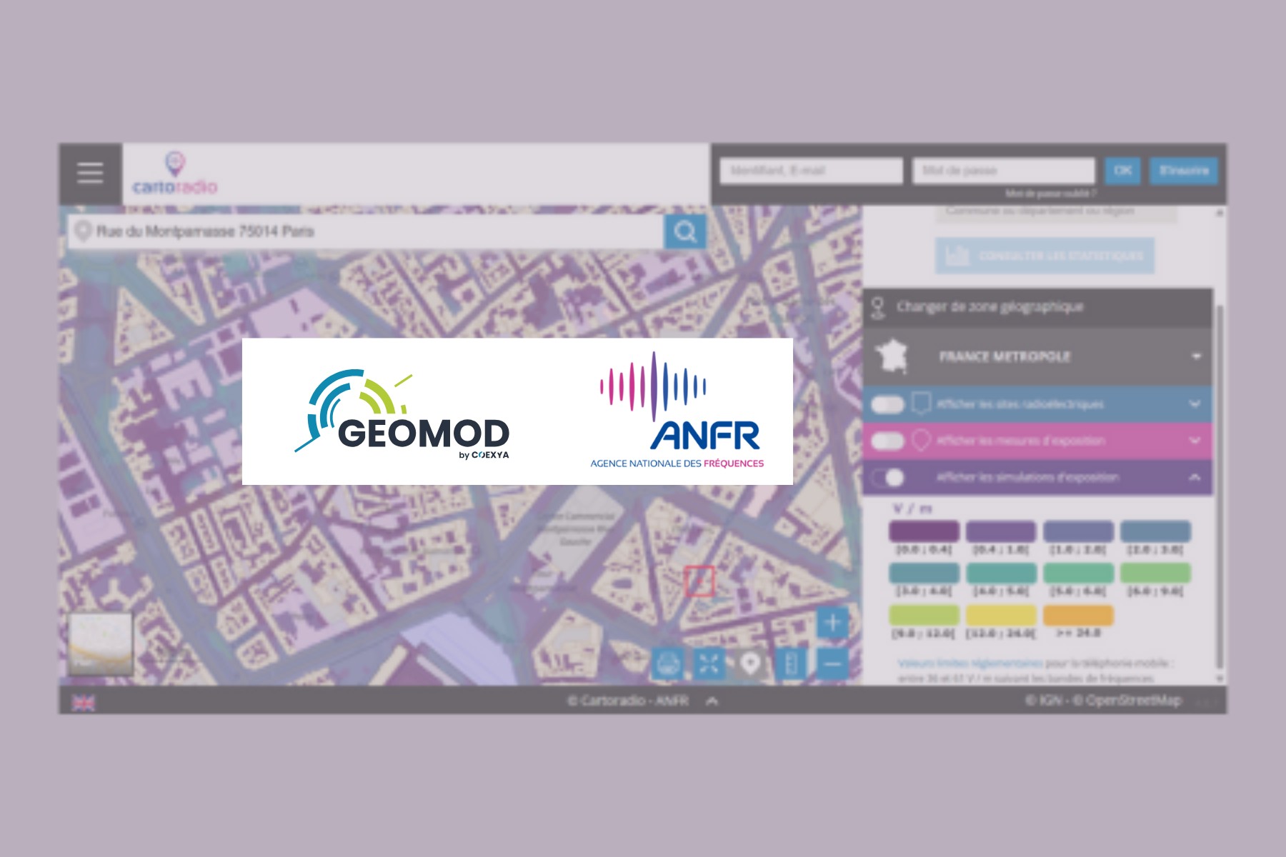
La Provence has published an article on public exposure to electromagnetic waves emitted by relay antennas, citing Geomod by Coexya for its expertise in modelling and mapping these phenomena.
Alongside the French National Frequency Agency (ANFR), Geomod by Coexya is involved in visualising and analysing exposure zones across the country. This work contributes to a better understanding of the impact of waves, thanks to accurate simulation and mapping tools that are accessible to local authorities and the general public.
This collaboration illustrates our commitment to using geomatics to promote environmental transparency and digital trust, in direct line with the public missions carried out by ANFR.