DAF de Polynésie française
OTIA: The Land Registry Management Application
In 2002, the Direction des Affaires Foncières (Land Affairs Department) of the Government of French Polynesia decided to implement a computerized land registry management system. After facing challenges with the initial system and dealing with obsolete technical components that hindered its evolution, a redesign project was launched in 2012 and awarded to Coexya.
Challenges
Geographical:
- 4 UTM zones – 30 local reference systems
- 5 archipelagos – 2.5 million km²
- Up to 300 co-owners per parcel
Strategic:
- Real-time cadastral management
- Public access and transparency
Technical:
- CAD / EDM integration
- Online update workflow
- Secure payment / Accessibility
Solutions
Platform and associated framework based on Esri technology (core system and services)
Comprehensive land registry management solution integrating GIS / EDM / Workflow
Secure access for remote users (DAF branches, professionals) and the general public
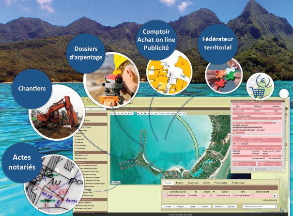
Key features: land survey files, construction sites, notarized deeds, online purchasing counter, and more